Where Four Rivers Meet: The Untold Story of Namibia’s Zambezi Region (2026)
In 1909, a German colonial officer named Kurt Streitwolf stood on the banks of the Zambezi River, mapping a sliver of land so peculiar that cartographers had long dismissed it as a mistake. This narrow panhandle, 450 kilometers long and barely 30 kilometers wide at its narrowest, was the Caprivi Strip — a geopolitical oddity born from the 1890 Heligoland-Zanzibar Treaty, when Germany traded claims in East Africa for a corridor to the Zambezi. Today, renamed the Zambezi Region, this lush ribbon of riverine wilderness remains Namibia’s best-kept secret, a place where you’ll discover a Namibia utterly unlike the one you imagined.
The Story Behind Zambezi Region
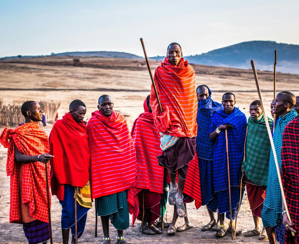
The Zambezi Region’s story begins not with European mapmakers but with the mighty rivers that define it. For centuries, the Lozi people — known as the “people of the river” — built their civilization along the Zambezi’s floodplains, constructing elegant reed palaces on raised mounds and navigating the waterways in carved dugout canoes. When the British explorer David Livingstone passed through in 1851, he described a kingdom of remarkable sophistication, where the Litunga (paramount chief) ruled over a network of canals and raised causeways that still function today. Travelers often discover that the Lozi still reenact the annual Kuomboka ceremony each March or April, when the chief processes by barge from the floodplain to higher ground — a spectacle of drumming, singing, and traditional regalia that has continued unbroken for over 300 years.
The colonial carve-up that created this region was pure absurdity: Germany wanted access to the Zambezi River as a trade route to the Indian Ocean, never mind that Victoria Falls blocked navigation. The 1890 treaty gave them a 450-kilometer strip of land that the local Subia and Yeyi people had never been consulted about. When German forces arrived in 1908, they faced fierce resistance. The Battle of Kasaya in 1914 saw German troops attacking a Subia fortification on an island in the Zambezi — one of the few colonial battles in Africa fought almost entirely on water. After World War I, the territory passed to South African administration, and for decades, the Caprivi Strip existed in a strange isolation, more connected by river to Zambia and Botswana than by road to the rest of Namibia. Locals recommend visiting the small museum in Katima Mulilo, where you’ll find photographs and artifacts from these turbulent years, including the original treaty documents and Subia resistance weapons.
Independence in 1990 brought change, but the region’s true renaissance came in 2013, when it was officially renamed the Zambezi Region — reclaiming its identity from the colonial “Caprivi” label. Today, you’ll find a place where five national parks and conservancies protect one of Africa’s most biodiverse landscapes, where the waters of the Zambezi, Kwando, Chobe, and Linyanti Rivers converge in a labyrinth of channels, lagoons, and floodplains that teem with elephants, hippos, crocodiles, and over 400 bird species. The region’s population of approximately 90,000 people — primarily Lozi, Subia, Yeyi, and San — maintains traditions that have adapted to the rivers for millennia, and you’ll hear seven distinct languages spoken in the markets of Katima Mulilo alone.
Neighborhood by Neighborhood

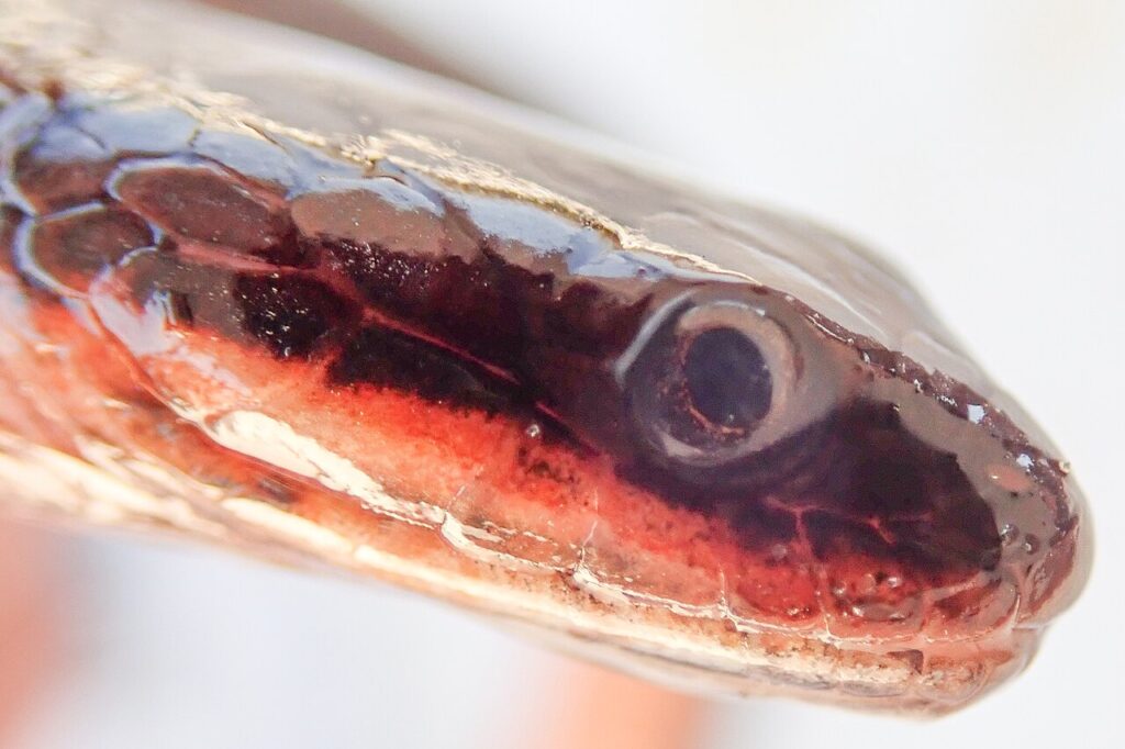
Photo of Bangweulu Water Snake (Limnophis bangweolicus) uploaded from iNatu…, Zambezi Region, Namibia
Katima Mulilo — The River Town
Katima Mulilo — “the place where the fire is quenched” in the Lozi language, named for the way early travelers extinguished their torches upon reaching the river — is the region’s capital and your likely first stop. The town stretches along the southern bank of the Zambezi, its dusty streets lined with acacia trees and colonial-era buildings painted in faded pastels. You’ll want to start at the central market on Independence Avenue, where vendors sell dried fish from the river, mangoes the size of your fist, and handwoven baskets in geometric patterns that have been passed down through generations. The town’s heartbeat is the riverfront promenade near the Katima Mulilo Bridge, where locals gather at sunset to watch fishermen cast their nets from dugout canoes. Your best bet for understanding daily life is to visit the Nandavo Craft Centre, a cooperative of women weavers who produce the region’s finest baskets and mats — plan to spend an hour watching their technique and learning the symbolic meaning of each pattern. For a cold drink and the best people-watching, pull up a chair at the Zambezi River Lodge’s open-air bar, where you’ll hear conversations in Lozi, Subia, Afrikaans, and English flowing as freely as the river itself.
Kongola — The Gateway to the Wild
Eighty kilometers west of Katima Mulilo, Kongola is less a town than a dusty crossroads that announces you’ve entered the wilderness proper. The settlement clusters around the bridge over the Kwando River, and your attention will immediately be drawn to the water below, where pods of hippos grunt and wallow within meters of the crossing. The Kongola area is defined by the Kwando River and the vast floodplains of Bwabwata National Park. You’ll find no paved roads here, no streetlights, no restaurants beyond a few basic lodges. Instead, you’ll discover a community of about 3,000 people living in scattered villages of reed-and-mud huts, their lives governed by the rhythms of the river and the movements of wildlife. Locals recommend you time your visit for the late afternoon, when you can sit at the Kongola Bridge and watch elephants cross the river — you’ll see family groups wading through the shallows, their trunks raised to catch the breeze. The nearby Lianshulu Lodge, built on a former fishing camp, offers the most comfortable base for exploring the area, but savvy visitors know that the real magic lies in the village homestays, where you can learn to make a dugout canoe from a single mopane tree or join a night fishing expedition by torchlight.
Impilila Island — Where Four Nations Meet
Impilila Island sits at the extreme eastern tip of the Zambezi Region, a sandbank of about six square kilometers where Namibia, Zambia, Zimbabwe, and Botswana converge in a quadripoint so remote that most Namibians have never visited. The island is accessible only by boat from Kasika village, a settlement of about 500 Subia people who have lived here for generations, largely cut off from the modern world. You’ll reach it via a 20-minute motorized canoe ride through channels fringed with papyrus and water lilies, past sunbathing crocodiles and fishing eagles. The island itself has no roads, no electricity, no shops — just sandy paths winding between reed huts and mango groves. What you’ll find here is the extraordinary: the point where four countries meet, marked by a simple concrete pillar that stands in the river shallows. Locals recommend arriving at low tide, when you can wade out to the pillar and stand in four countries simultaneously. The island’s chief — a wise woman in her seventies named Mwenda Simataa — will likely invite you for tea under her thatched shelter, where she’ll tell stories of the colonial surveyors who arrived in 1909, the guerrilla fighters who crossed here during Angola’s civil war, and the elephants that still swim between the banks as they have for millennia. Your visit requires a full day and an early start — plan to leave Katima Mulilo by 6:00 AM — but travelers often discover that this remote sandbank offers the most profound sense of place in all of Namibia.
The Local Table: What Denizens Actually Eat

Victoria Falls Bridge gracefully arcs over the lush Batoka Gorge in Zimbabwe, Zambezi Region, Namibia
Zambezian cuisine bears almost no resemblance to the game meats and German-influenced fare you’ll find in Windhoek or Swakopmund. Here, the river is the pantry, and every meal reflects the waters that surround you. The staple is mahangu (pearl millet), ground into flour and cooked into a thick porridge called pap or oshifima, which you’ll eat with your hands, rolling it into balls and dipping it into relishes. But the heart of the cuisine is fish: bream, tilapia, catfish, and the prized nembwe (three-spot tilapia), caught daily by fishermen who still use the same netting techniques depicted in rock paintings over 2,000 years old. You’ll find these fish grilled over open fires, fried in groundnut oil, or simmered in stews with tomatoes, onions, and the small, fiery bird’s eye chilies that grow wild along the riverbanks.
The definitive dish you must seek out is kapenta with matapa. Kapenta are small, sardine-like fish from Lake Kariba that have become a Zambezi Region staple — you’ll see them drying on racks in every village, their silvery skin glinting in the sun. They’re fried whole with onions and tomatoes until crispy, then served with matapa: a rich, spinach-like stew made from cassava leaves pounded to a paste and cooked in coconut milk with ground peanuts. The combination is extraordinary — the salty crunch of the fish against the creamy, nutty greens — and you’ll find it at Mwandi’s Kitchen, a home-based restaurant in Katima Mulilo’s Soweto neighborhood run by a matriarch named Grace Mwandi. Her kapenta and matapa costs N$45 (about US$2.50), served with pap and a side of sliced avocado. She opens at noon daily except Sunday, and your best bet is to arrive by 1:00 PM before she runs out. The secret is to ask for extra chili — her homemade bird’s eye relish will clear your sinuses and deepen the flavors in ways that will transform how you understand Namibian food.
The region’s market culture revolves around the daily catch. Every morning by 6:00 AM, the fish market on Katima Mulilo’s riverfront comes alive with auctioneers calling out prices in Lozi and Subia. You’ll see women balancing buckets of live fish on their heads, children sorting kapenta into piles, and the air thick with the smell of smoke and river water. It’s a sensory assault in the best possible way. Grab a grilled bream from Mama Esther’s stall for N$20 (US$1) — she’ll serve it wrapped in newspaper with a wedge of lemon and a sprinkle of peri-peri salt. Eat it standing at the market, watching the dugouts arrive and depart, and you’ll understand why travelers often discover that the best meals in Africa come not from white-tablecloth restaurants but from the hands of grandmothers who have been cooking the same way for sixty years.
Art, Music & Nightlife

Close-up of an African elephant with mud-covered skin in Namibia’s arid lan…, Zambezi Region, Namibia
The Zambezi Region’s creative soul is expressed most vividly through its basketry and music. The women of the Subia and Lozi peoples weave baskets of extraordinary complexity — the ilondo (storage basket) and sitja (winnowing basket) are made from ilala palm fibers dyed with natural pigments derived from tree bark, river mud, and boiled roots. The patterns are not decorative but communicative: a zigzag represents the path of the river, a circle symbolizes the sun, and a diamond pattern tells the story of a particular family lineage. You’ll find the finest examples at the Nandavo Craft Centre in Katima Mulilo, where master weaver Selma Muyoba can teach you to weave your own small basket in a two-hour workshop — the cost is N$150 (US$8), and you’ll leave with a piece of art you’ve made yourself. The centre is open Monday to Friday, 9:00 AM to 4:00 PM.
Music is the lifeblood of social life here. The traditional silimba — a wooden xylophone played by the Lozi — produces a resonant, hypnotic sound that accompanies everything from fishing expeditions to funeral rites. The royal drummers of the Litunga still perform at the Kuomboka ceremony each April, their rhythms echoing across the floodplains. For contemporary nightlife, head to Club 2000 in Katima Mulilo’s center, where DJs mix Congolese soukous, South African house, and local Zambezi beats until the early hours. The club is packed on Friday and Saturday nights, and the energy is infectious — expect to be pulled onto the dance floor by strangers who will teach you the kwasa kwasa dance. Entrance is N$20 (US$1), and a bottle of Windhoek Lager costs N$15 (US$0.80). The annual Caprivi Cultural Festival, held each September in Katima Mulilo, brings together traditional dancers, weavers, and musicians from across the region for three days of competition and celebration. Plan your visit around this event, and you’ll witness the region’s creative heritage at its most vibrant.
Practical Guide
- Getting There: Fly into Katima Mulilo Airport (KMP) from Windhoek via Air Namibia or CemAir — flights take about 2 hours and cost N$1,500-3,000 (US$80-160) each way. Alternatively, you can drive from Windhoek (10 hours on paved roads) or take the Intercape bus (14 hours, N$500/US$27). Book flights at Skyscanner
- Getting Around: A 4×4 is essential for exploring the national parks and remote areas. Rent from Avis or Budget at Katima Mulilo Airport (from N$800/US$43 per day). For local transport, shared taxis run between Katima Mulilo and Kongola (N$100/US$5.50, 1 hour). Minibus taxis within Katima Mulilo cost N$10 (US$0.50) per trip.
- Where to Stay: In Katima Mulilo, the Protea Hotel by Marriott (from N$1,200/US$65) offers comfort and river views. Budget travelers prefer the Caprivi River Lodge (N$400/US$22 per night for camping). For wilderness immersion, Lianshulu Lodge in Bwabwata National Park (from N$2,500/US$135 full board) provides game drives and canoe trips. Check Booking.com
- Best Time: May to October (dry winter) offers prime wildlife viewing as animals concentrate near water sources. The Kuomboka ceremony occurs in March or April (wet season) — check exact dates with the Katima Mulilo tourism office. November to April is hot and humid (35°C/95°F) but spectacular for birdwatching and lush landscapes.
- Budget: Budget travelers can manage N$600-800 (US$32-43) daily for transport, food, and basic accommodation. Mid-range travelers should budget N$2,000-3,500 (US$108-189) per day including park fees (N$100/US$5.40 per park per day) and guided activities. Fuel costs about N$15 (US$0.80) per liter.
What Surprises First-Time Visitors
Most travelers arrive expecting Namibia’s iconic deserts and dunes, so the shock of this lush, water-soaked landscape is profound. You’ll find yourself in what feels like the Okavango Delta’s lesser-known cousin — channels of emerald water threading through papyrus beds, forests of jackalberry and sausage trees, and skies heavy with clouds that dump rain even in the “dry” season. The humidity takes adjustment: your clothes will never fully dry, your camera lens will fog up each morning, and you’ll learn to carry a rain jacket year-round. But this unexpected greenness is precisely the point — the Zambezi Region is Namibia’s secret garden, its wettest and wildest corner, and the contrast with the rest of the country is part of what makes it so special.